Portfolio
Headwaters
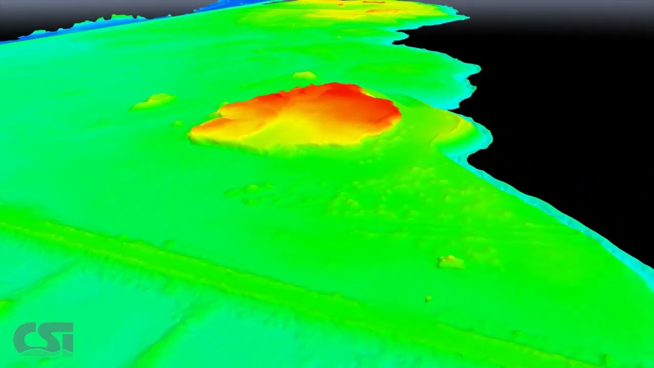
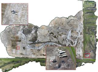
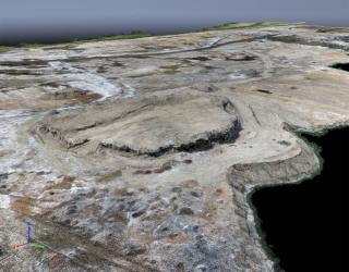
CSI was asked by Headwaters, LLC to perform a topographic aerial survey of an ash pile for volume computations and assessment at the local power plant, Big Cajun II.
CSI carefully planned the control surveys as this job was to be constrained to the plant coordinate system.
The control surveys were obtained using RTK survey methods and the aerial survey was conducted with our SensFly eBee fully autonomous survey drone. Utilizing SenseFly’s eMotion software, a flight plan was assembled to conduct the aerial survey in two flights, covering 65 acres.
CSI deployed an Aerial Surveying crew to the site and conducted the survey in a matter of hours. The data was then transferred to the CSI office for processing. Utilizing Pix 4D software, the aerial data was processed and constrained to the control points. We were then able to provide the clients with a quality data set for volume computations.
Project Gallery